Carson Pass
Highway 88 / Carson Pass informationCurrently at the Pass
Updated January 6, 2026
Dogs are required to be on leash in the Carson Pass Management Area/Mokelumne Wilderness. This is a protected area, fines can be issued by the Forest Service for dogs that are off-leash.
Carson Pass Information is always looking for qualified, visitor oriented docents. If you are interested in an enjoyable experience helping visitors to the area, please send an email to [email protected]. You would need to have a knowledge of the area and enjoy working with people to be a volunteer docent at Carson Pass Information Station.
More information is available by going to the Eldorado National Forest website by clicking here. There are also regular updates made to our Facebook page at “Carson Pass Information Station”.
Estimated closing dates for campgrounds:
PiPi – Oct 26th
Middle Fork – Sept 21st
Sugar Pine Point – Sept 21st
South Shore – Sept 21st
Pardoe Point – Oct 12th
Bear Group – Sept 28th
Mokelumne River – Sept 28th
White Azalea – Sept 28th
Devils Nose – Sept 28th
Silver Lake – Sept 28th
Kirkwood Lake – Sept 28th
Caples Lake – Sept 28th
Woods Lake – Sept 28th

Carson Pass in the Summer
The Carson Pass area offers one of the most beautiful and scenic areas in the High Sierra. Carson Pass Special Management Area is set aside from the rest of the Mokelumne Wilderness for two distinct areas. First, the Round Top Geologic Area, which has extinct volcanoes. Its glacially sculptured land is evident as one walks the 10 miles of trails in the area. Dramatic changes in the landscape are still occurring after two hundred million years.
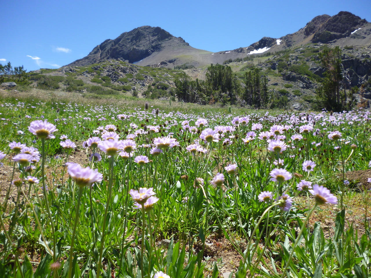
Second is the Round Top Botanical Area. Wildflowers have been blooming each summer for the past ten to twelve thousand years. Different soil types and elevation changes will produce wide variety of lush and beautiful wildflowers. The peak season can vary from mid-July to the first week or two in August depending on the previous winters snow pack. For wildflower information you can call the Carson Pass Station at 209-258-8606.
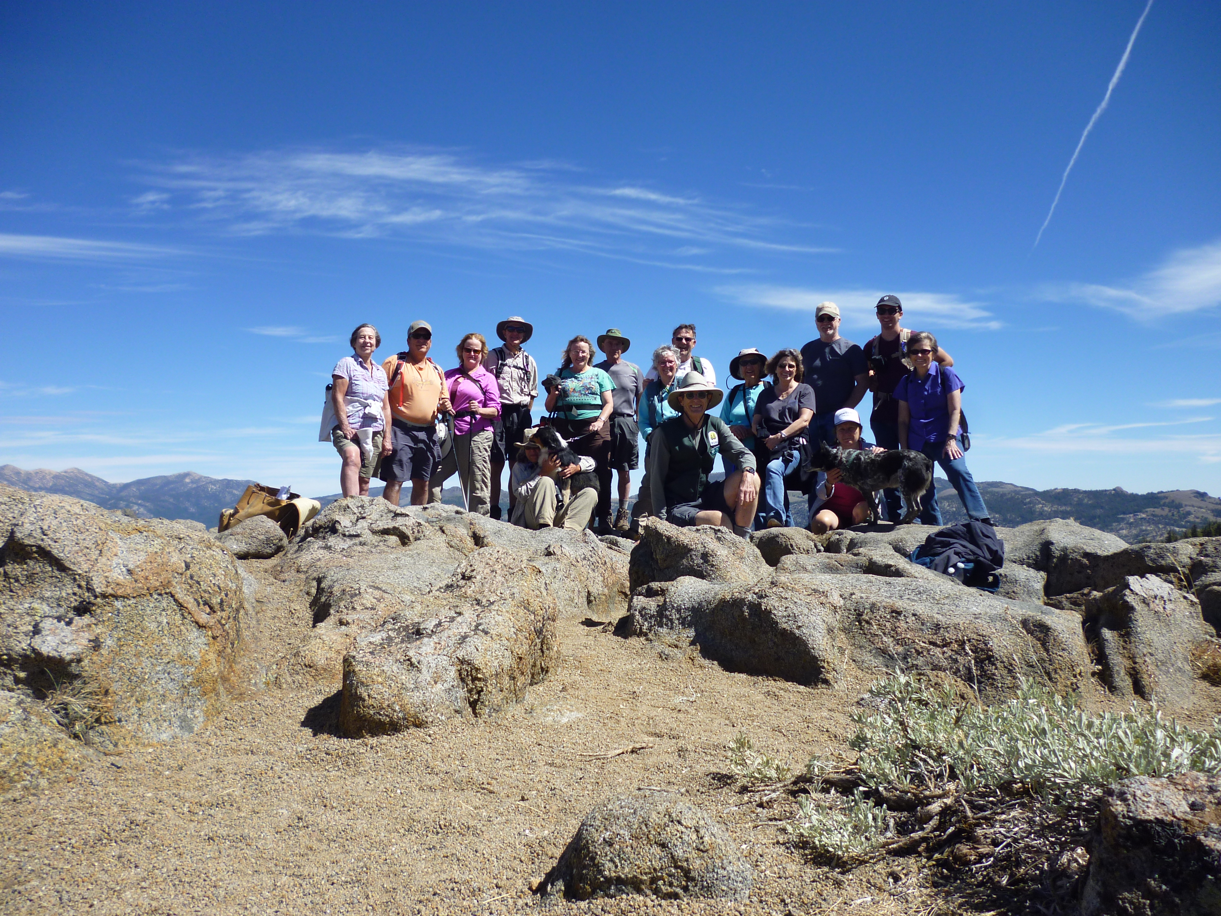
Many activities are available in the area. To get some ideas check out the Things to Do under the Discover drop-down menu.The area of Carson Pass is rich in history as well as having great outdoor activities. Feel free to take advantage of the Docent led interpretive hikes that occur throughout the season. Check out the schedule under the Upcoming Events Calendar on the Home page, or head to our Carson Pass Facebook page.
The Pacific Crest Trail (PCT) runs right past the station. When you visit, look for the PCT hikers, who will have many interesting stories from their adventures along the trail. If you speak another language, you may even be able to practice it, as many hikers have come from other countries to experience the unique adventure of hiking from Mexico to Canada along the PCT.
Headed for the wilderness for camping? You can obtain your wilderness and campfire (stove) permits at the Station. Need a place to camp and the campgrounds are full? The helpful Docents at the station will direct you to areas where dispersed camping is allowed.
A couple of important items. Remember to bring $5 for the user fee collected at the parking lots at the pass and many of the other parking lots in the area. This fee goes toward maintaining trails and the area for your use. Also, please have your dogs leashed for their safety and the safety of our wildlife. Loaner leashes are available for free from the Carson Pass Station.
Have a wonderful experience in one of the most beautiful areas of the Sierra Nevada.
Wildflowers 101
The wildflower season is in full swing. Flowers started blooming on the trail up to Winnemucca Lake in early July. They should peak and be in bloom through July and i taper off in August.
Trying to locate wildflowers in a field guide and learn their names can be a pretty daunting undertaking. To help you begin learning them, Wildflowers 101 has 10 of the most common wildflowers in the higher elevations. Print this off and take it with you when you do your wildflower hikes. We also have several very good guides for sale at the Carson Pass Information Station. This way you will start to grow your wildflower knowledge in an easy step-wise manner. This is also a great tool to hand to the younger hikers to turn their trek outside into a treasure hunt. Have a great time enjoying natures bounty of beautiful flowers. Just please remember, don’t pick them- leave them for others to enjoy.
To get your printable Wildflowers 101, please click here.

HWY 88/Carson Pass
An all-season roadway, Highway 88, the Carson Pass Highway, enters the Eldorado National Forest 64 miles east of Stockton near the Dew Drop Fire Station at the 4300 foot elevation and continues through the forest for 38 miles until in reaches Carson Pass at the 8573 foot elevation. From there, it descends into Nevada near Woodfords. Much of the highway parallels the northern ridge above the Mokelumne River canyon, then follows the Carson River Route of the Emigrant Trail. Several historic sites can be accessed on a driving tour described in Gold Rush Trail, a guide by Frank Tortorich.
With an elevation change of over 4000 feet, from west to east, the forest changes from foothill woodland, chaparral, and mixed conifer to the true fir, and subalpine forests of the Carson Pass area. Over eighteen developed campgrounds, both public and private, are accessible from the highway, as well as miles of fishable streams and rivers, and major and minor lakes and reservoirs affording the visitor many recreational opportunities.
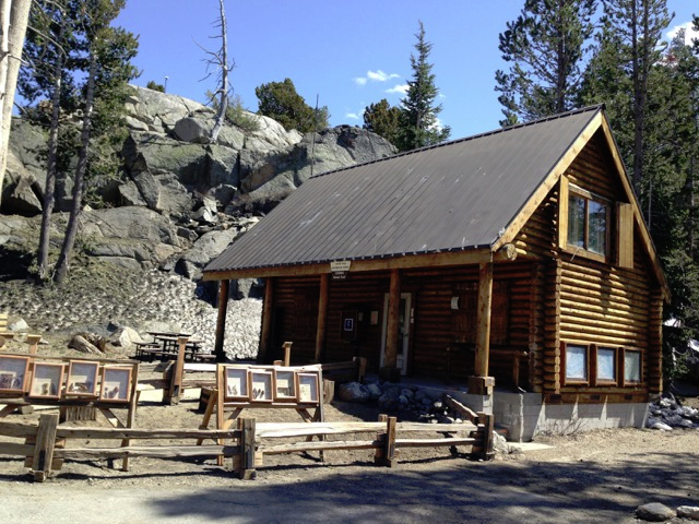
At the summit, the Carson Pass Information Station offers visitors a chance to stop, stretch their legs, and learn more about the area. Wilderness Permits, Campfire Permits, and campsite reservations for the Carson Pass Management Area are all available at the stations along with maps, books, and more. The station is open everyday from Memorial Day to Labor Day. Stop in!


Carson Pass Winter Fun
SNO-PARKS
Sno-Parks in the Carson Pass area are located at the Meiss Trailhead, the Carson Pass Information Station, Iron Mountain, and Hope Valley. They are open November 1-May 30. A Sno-Park permit is required. For more information on Sno-Parks and to purchase a permit online, click here. Permits may also be purchased from some local retailers. However, permits are not available for purchase at the Sno-Park.
The cost is $40.00 per season or $15.00 a day.
Located at the crest of Carson Pass on Highway 88, the Carson Pass Information Station is a great place to start your adventure. The Station is closed in the winter, but several trails start from the Sno-Park lot next to the station where restrooms are also available. Follow the trail leaving the parking lot just to the side of the Information Station, which traverses through a beautiful primitive forest to Frog Lake at one mile. Continuing on the trail will bring you to Winnemmuca Lake, Round Top Mountain, and Elephants Back. You will be in a wilderness area. There are no blue diamonds on the trees to mark the trail, so you will be responsible for your navigation.
In the Carson Pass area, ice fishing is available at Silver Lake, Caples Lake, Red Lake, and Woods Lake. A variety of trout including Mackinaw, Brown, Brook, and Rainbow are available. Many of these hungry fish can weigh from five pounds to an excess of twenty for the Mackinaw. Ice conditions can change rapidly, so caution is advised.
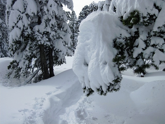
Snow camping can be a challenging and very rewarding experience. If you are camping in the Carson Pass Management Area you must have a minimum of twelve inches of snow on the ground. Camping within the management area is only allowed at designated sites at Winnemmuca Lake, Frog Lake, Round Top Lake, and 4th of July Lake. Open fires are not allowed above 8,000 feet, so plan to use your camp stove. A wilderness permit and campfire permit are required and can be obtained from the Amador Ranger Station on Silver Drive in Pioneer.
Snowmobiling is not allowed in the Carson Pass Management Area or Meiss Meadow area, but close by good areas for snowmobiling are Iron Mountain at the junction of Mormon-Emigrant Trail Road and Highway 88, and Hope Valley just east of the pass. Each has a Sno-Park staging area, miles of groomed and ungroomed trails, and acres of open country. Silver Bear Snowmobiling Trails begin at the Iron Mountain Sno-Park about 25 miles east of Jackson. Hope Valley Snowmobiling Trails launch from the Hope Valley Sno-Park on the east side of the pass.
