What’s New on Highway 50:
Updated July 9, 2026
We are transitioning to the spring/summer season. For the most up to date information, contact the Placerville Ranger district at (530) 644-2324.
Echo Lake: The Chalet is open.
Crystal Basin: Crystal Basin Information Station is closed.
Mormon Emigrant Trail is open.
For more information, please call the Placerville Ranger District: (530) 644-2324.
Georgetown District Ranger Office
Desolation Wilderness
For recent information on trails in the Desolation Wilderness, please click here to go to the Desolation Wilderness Volunteers list of reported trail conditions. For permits and reservations call 530-647-5415.
Wrights Lake: Wrights Lake Road open. Twin Lakes and Rockbound trailhead access is open. Day use, boat ramp and Twin Lakes TH bathrooms are open. Designated campgrounds are currently closed. Day use only. No restrooms available at the Rockbound TH. Ongoing construction in the are so exercise caution.
More information can be obtained by going to the Eldorado National Forest website by clicking here.

Bear Canisters Required in Desolation Wilderness
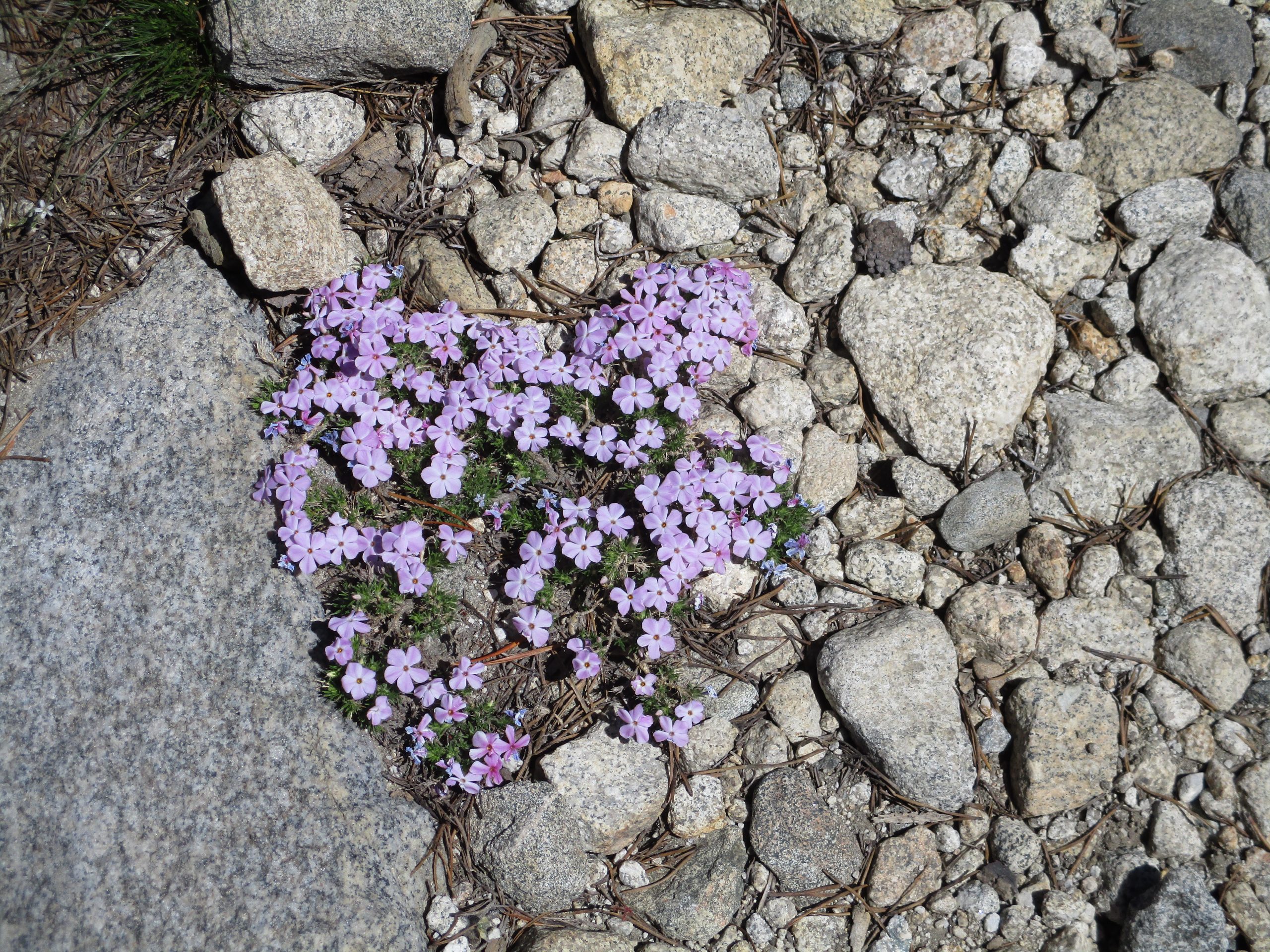
Wildflowers 101
The wildflower season will return in the spring/summer! To be ready here is a help to learning those wildflowers.
Trying to locate wildflowers in a field guide and learn their names can be a pretty daunting undertaking. To help you begin learning them, Wildflowers 101 has 10 of the most common wildflowers in the higher elevations. Print this off and take it with you when you do your wildflower hikes. After you find these and learn their names, you will be ready for Wildflowers 102 (to follow at a later date), which will have 10 more flowers to find. This way you will start to grow your wildflower knowledge in an easy stepwise manner. This is also a great tool to hand to the younger hikers to turn their trek outside into a treasure hunt. Have a great time enjoying natures bounty of beautiful flowers. Just please remember, don’t pick them- leave them for others to enjoy.
To get your printable Wildflowers 101, please click here. (Wildflowers 101 states it is for Carson Pass, but it works for all of the high country.)
Highway 50
One of the three major all season routes across the Sierra, Highway 50 provides easy access to the northern portion of the Eldorado National Forest from Placerville to Echo Summit. Along the highway there are numerous recreation opportunities – camping, biking, fishing, hiking, OHV, and more. There are two year around forest information stations where maps, permits and specific information is available. In Placerville, the Forest Supervisor’s Office is located on Forni Road, just off the highway. Further east in Camino, the Placerville Ranger Station is located on Eight Mile Road. Both stations are open Monday through Friday from 8:00 am to 4:30 pm, and the Placerville Ranger Station is also open Saturday from 8:00 am to 4:30 pm and Sunday 8:00 am to noon.
Summer (Memorial Day to Labor Day) additional services can be found the Information Station at Crystal Basin, off Ice House Road.
Gateway to California – Highway 50 History
The earliest roads used to cross the Sierra Nevada were branches of the California Trail. From 1848 to the early 1850’s the most popular route was across Carson Pass on the Mormon blazed trail that followed the Iron Mountain Ridge, crossing two summits and having only three river fords, unlike the Truckee Route with 27 river crossings. In 1852, John Calhoun Johnson of Placerville surveyed and cleared a shorter and lower elevation route. It traveled east to meet the South Fork of the American River. Johnson’s Cutoff as it was called became one of the many historic wagon roads that led emigrants to the gold fields. More information about the Johnson’s and their cutoff can be found in Ellen Ford’s book “A Lovely and comfortable Heritage Lost,” which is for sale in our retail outlets.
In 1858 the California legislature created the “Board of Wagon Commissioners” charging them with the task of improving the road, but by 1860 the heavy traffic had once again degraded it to the point it could no longer be used by stagecoaches. Several toll roads were developed and then later purchased by El Dorado County to create what eventually became what is known today as Highway 50. From animal trails and native footpaths, the Gateway to California emerged.
- The Pony Express used a portion of the route from April of 1860 to October 1861 when the Union Telegraph line was completed.
- California’s first state highway was established in 1895 on the wagon roads that became Highway 50.
- Granite markers were added in 1907 to indicate mileage to Placerville.
- The Lincoln Highway Association was formed to promote a transcontinental highway. In California it branched into two routes – what is now Highway 80 to the north and Highway 50 in the south.
- In 1928 the road became United States Highway 50.
- The highway was paved in 1939.
Take a Driving Tour from Placerville to Lake Tahoe
Whatever the season, there is something to see and do along Highway 50. California was already a state when the road was first surveyed, and evidence of California’s early days as a state can be visited between Placerville and Meyers. As you drive look for historic buildings, tool stations such as Pacific House, evidence of previous wildfires and landslides, and early settlements like Riverton and Strawberry.
For a detailed list and map check out the Eldorado National Forest Recreational Opportunity Guide for Highway 50.
Highway 50
Highway 50 / Crystal Basin informationPO Box 908, Placerville, CA 95667
(530)303-8344 | infoSPAMFILTER@enfia.org
Quick Links
Explore
PO Box 908, Placerville, CA 95667
(530)303-8344 infoSPAMFILTER@enfia.org